List of loaded documents (1-36 / 101)
-
1. Landslide susceptibility mapping in eastern hills of Rara Lake, Western Nepal
-
2. Issues and Challenges in the 2015 Nepal Earthquake Response
-
3. Ecosystem restoration reduces community vulnerability to water-induced disasters: Need to rethink Chure conservation in Nepal
-
4. Shifting Power Through Participation in Post-Disaster Recovery: A Scoping Review
-
5. Gendered Impacts of Climate Change: Evidence from Weather Shocks
-
6. Nepal Flood 2017 Wake up Call for Effective Preparedness and Response
-
7. Lightning Threats in Nepal: Occurrence and Human Impacts
-
8. How can LGBTQIA+ people be engaged in Disaster Risk Reduction policy-making without compromising safety?
-
9. Landslide Susceptibility and Risk Analysis in Benighat Rural Municipality, Dhading, Nepal
-
10. CATALYZING CHANGE FOR RESILIENCE ACROSS BOUNDARIES: CHALLENGES IN NEPAL'S SMALL TRANSBOUNDARY RIVERS
-
11. A Review of Studies on Community Based Early Warning Systems
-
12. Community-Based Approach to Flood Early Warning in West Rapti River Basin of Nepal
-
13. A GIS-based Comparative Evaluation of Analytical Hierarchy Process and Frequency Ratio Models for Landslide Susceptibility Mapping
-
14. Landslide Hazard Assessment Between Besi Sahar and Tal Area in Marsyangdi River Basin, West Nepal
-
15. Evaluating Underlying Causative Factors for Earthquake-induced Landslides and Landslide Susceptibility Mapping in Upper Indrawati Watershed, Nepal
-
16. GIS-Based Landslide Susceptibility Modeling: A Comparison Between Fuzzy Multi-criteria and Machine Learning Algorithms
-
17. Landslide Susceptibility Analysis of Shiv-khola Watershed, Darjeeling: A Remote Sensing and GIS-Based Analytical Hierarchy Process (AHP)
-
18. Landslide Hazard Mapping: GIS Based Susceptibility Assessment of Leoutikhola Watershed, Dhankuta, Nepal
-
19. GIS-Based Weights of Evidence Modeling of Rainfall-induced Landslides in Small Catchments for Landslide Susceptibility Mapping
-
20. GIS and Geomatics for Disaster Management and Emergency Relief: A Proactive Response to Natural Hazards
-
21. The use of remotely piloted aircraft systems (RPASs) for natural hazards monitoring and management
-
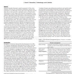
22. A Survey of Geomatics Solutions for the Rapid Mapping of Natural Hazards
-
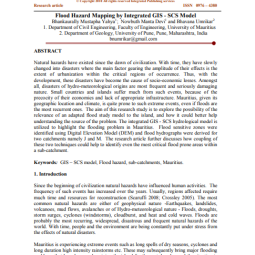
23. Flood Hazard Mapping by Integrated GIS - SCS Model
-
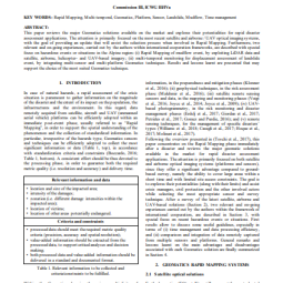
24. Geomatics Mapping of Natural Hazards: Overview and Experiences
-
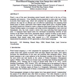
25. Flood Hazard Mapping using Aster Image data with GIS
-
26. Wildfire Dynamics in Nepal from 2000-2016
-
27. Global Trends in Wildfire and its Impacts: Perceptions Versus Realities in a Changing World
-
28. Forest Fire Situation in Nepal
-
29. Forest fire in the Terai, Nepal Causes and Community Management Interventions
-
30. Results Based Monitoring and Evaluation of the Building Resilience to Climate-related Hazards Project: A Good Practice Towards Climate Hazard Resilience
-
31. Carbon Monoxide Emissions and Human Exposure Assessment of Different Cook stoves in Kaski, Nepal
-
32. Mountains and Rivers; Impacts of and Responses to Flash Flood in the Seti River in Nepal
-
33. Geomorphic and Forest Cover Controls on Monsoon Flooding, Central Nepal Himalaya
-
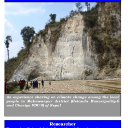
34. Impacts Assessment and Climate Change Adaptation: Strategies in Makawanpur District, Nepal
-
35. Catchment-scale Flood Hazard Mapping and Flood Vulnerability Analysis of Residential Buildings: The Case of Khando River in Eastern Nepal
-
36. Economic and Social Impacts of Extreme Weather Events on the Agricultural Sector in the Lowlands of Nepal
