Home
About
Introduction
Thematic Area
Our Team
Program
Current Program
Recent Success Stories
News & Notice
News
Press Release
NCDRR
NCDRR 2
APMCDRR
Photos
Videos
Notices
Upcoming Programs
Current Openings
Updates
ORC
Virtual Discussion Platform
Sphere Nepal
Contact
Resources
Show All
DPNet Publication
Legal Document
Important Legal documents
Act
Ordinance
Court Decision
Rules and Regulation
Policy
Strategic Planning
Action Plan
Standards
Guidelines
Framework
Procedure
Circular
Province Level
District Level
Local Level
International Treaties
Sample Legal Document
Book
Hand Book
Journal
Research Paper
Bulletins
Position Paper
Conference Paper
Review Article
Factsheets
Case Studies
Presentations
Training Materials
Flyer, Brochure, Template
Report
Manual
Official Statement
GESI
Videos
NCDRR Presentations
Day 1
Day 2
DPNet Bulletin
Useful Links
Contract Directory
Translated - English to Nepali
Translated - Nepali to English
NCDRR 2 Presentations
Event Day 1
Event Day 2
Article
Search
From (year)
To (year)
Search Keyword
Search
Clear
Documents per-page
12 Documents
6 Documents
12 Documents
24 Documents
36 Documents
List of loaded documents (11-24 / 80)
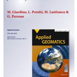
11. A Survey of Geomatics Solutions for the Rapid Mapping of Natural Hazards
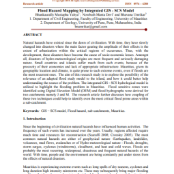
12. Flood Hazard Mapping by Integrated GIS SCS Model
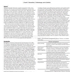
13. GEOMATICS MAPPING OF NATURAL HAZARDS: OVERVIEW AND EXPERIENCES
14. Flood Hazard Mapping using Aster Image data with GIS
15. Wildfire Dynamics in Nepal from 2000-2016
16. Global trends in wildfire and its impacts: perceptions versus realities in a changing world
17. Mountains and Rivers; Impacts of and Responses to Flash Flood in the Seti River in Nepal
18. Geomorphic and forest cover controls on monsoon flooding, central Nepal Himalaya
19. Understanding Short-term Household Recoveries from the 2015 Nepal Earthquakes: Lessons Learned and Recommendations
20. Rich water, Poor People: Potential for Transboundary Flood Management between Nepal and India
21. Remotely Designed Appropriate Technology for Emergency Disaster Response in Nepal
22. Post-earthquake Reconstruction Managing Debris and Construction Waste in Gorkha and Sindhupalchok Districts, Nepal
A Survey of Geomatics Solutions for the Rapid Mapping of Natural Hazards
Read More
Flood Hazard Mapping by Integrated GIS SCS Model
Read More
GEOMATICS MAPPING OF NATURAL HAZARDS: OVERVIEW AND EXPERIENCES
Read More
Flood Hazard Mapping using Aster Image data with GIS
Read More
Wildfire Dynamics in Nepal from 2000-2016
Read More
Global trends in wildfire and its impacts: perceptions versus realities in a changing world
Read More
Mountains and Rivers; Impacts of and Responses to Flash Flood in the Seti River in Nepal
Read More
Geomorphic and forest cover controls on monsoon flooding, central Nepal Himalaya
Read More
Understanding Short-term Household Recoveries from the 2015 Nepal Earthquakes: Lessons Learned and Recommendations
Read More
Rich water, Poor People: Potential for Transboundary Flood Management between Nepal and India
Read More
Remotely Designed Appropriate Technology for Emergency Disaster Response in Nepal
Read More
Post-earthquake Reconstruction Managing Debris and Construction Waste in Gorkha and Sindhupalchok Districts, Nepal
Read More
Previous
1
2
3
4
5
6
7
Next