Search
List of loaded documents (741-900 / 1492)
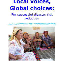
- 741. Local Voices, Global Choices: For Successful Disaster Risk Reduction
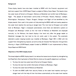
- 742. Installation of Display board at DEOC Kailali
- 743. Governance Struggles and Policy processes in Disaster Risk Reduction: A Case Study from Nepal
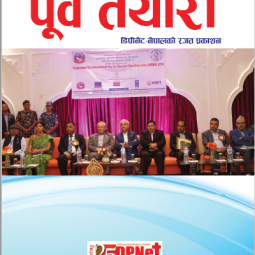
- 744. पुर्व तयारी - DPNet Nepal's Silver Jubilee Publication, 2020
- 745. WHO Consortium Linking Health and Disaster Management in the Urban
- 746. Urban Risk Management and Preparedness for Response Lessons from the Kathmandu Valley
- 747. Urban Resilience Research, Durham University
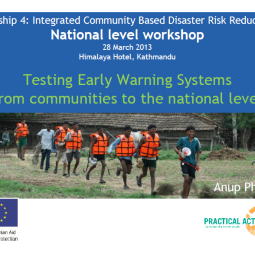
- 748. Testing Early warning Systems from Community to the National Level
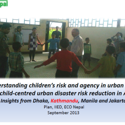
- 749. Understanding Children’s Risk and Agency in Urban Areas for Child-centered Urban Disaster Risk Reduction in Asia
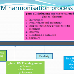
- 750. DRM Harmonization Process
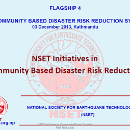
- 751. Urban Community-based Disaster Risk Reduction Symposium: NSET Initiatives in Community-Based Disaster Risk Reduction
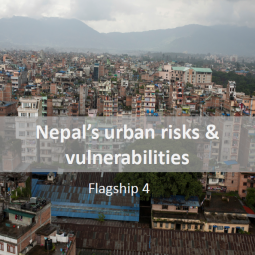
- 752. Nepal’s Urban Risk and Vulnerabilities