List of loaded documents (1-36 / 71)
-
1. Lightning Threats in Nepal: Occurrence and Human Impacts
-
2. Nepal Disaster Risk Reduction Journal, NCDRR 2022
-
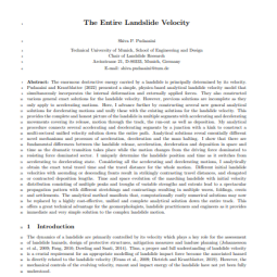
3. The Entire Landslide Velocity
-
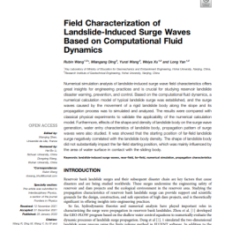
4. Field Characterization of Landslide-Induced Surge Waves Based on Computational Fluid Dynamics
-
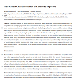
5. New Global Characterization of Landslide Exposure
-
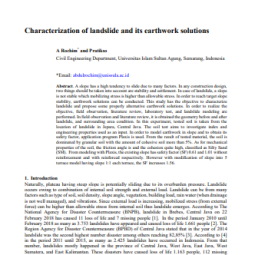
6. Characterization of Landslide and its Earthwork Solutions
-
7. Communicating Complex Forecasts for Enhanced Early Warning in Nepal
-
8. Community Assessment of Flood Risks and Early Warning System in Ratu Watershed, Koshi Basin, Nepal
-
9. Community-Based Early Warning Systems for Flood Risk Mitigation in Nepal
-
10. Disaster Early Warning Systems in Nepal: Institutional and Operational Frameworks
-
11. GIS-Based Landslide Susceptibility Mapping of Bhotang, Nepal using Frequency Ratio and Statistical Index Methods
-
12. Use of Very High-resolution Optical Data for Landslide Mapping and Susceptibility Analysis Along the Karnali Highway, Nepal
-
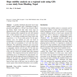
13. Slope Stability Analysis on A Regional Scale Using GIS: A Case Study from Dhading, Nepal
-
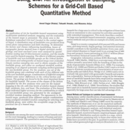
14. Landslide Hazard Mapping and its Evaluation Using GIs: An Investigation of Sampling Schemes for a Grid-Cell Based Quantitative Method
-
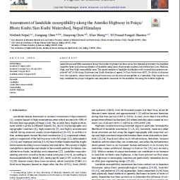
15. Assessment of Landslide Susceptibility Along the Araniko Highway in Poiqu/Bhote Koshi/Sun Koshi Watershed, Nepal Himalaya
-
16. An Overview of Landslide Hazard Mapping and Rating Systems in Nepal
-
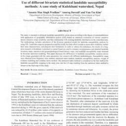
17. Use of Different Bivariate Statistical Landslide Susceptibility Methods: A Case Study of Kulekhani Watershed, Nepal
-
18. Natural Hazards Susceptibility Mapping in Kuala Lumpur, Malaysia: An Assessment Using Remote Sensing and Geographic Information System (GIS)
-
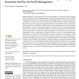
19. The Role of Regional Ecological Assessment in Quantifying Ecosystem Services for Forest Management
-
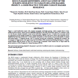
20. Results Based Monitoring and Evaluation of the Building Resilience to Climate-related Hazards Project: A Good Practice Towards Climate Hazard Resilience
-
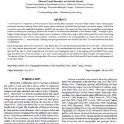
21. Topographical and geological factors on gully-type debris flow in Malai River catchment, Siwaliks, Nepal
-
22. Spatial and Temporal Analysis of Natural Hazard Mortality in Nepal
-
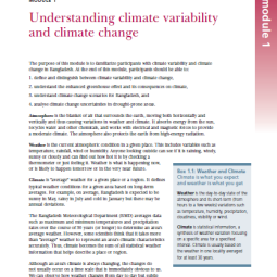
23. Understanding Climate Variability and Climate Change
-
24. Hazard Mapping of Sindhu Khola Watershed, Sindupalchowk, Nepal
-
25. Mathematical Modeling of Environmental Problems
-
26. Land use Change Modelling: Current Practice and Research Priorities
-
27. Advanced Geographic Information System
-
28. Predicting Land-use Change
-
29. GIS Modeling and Analysis
-
30. GIS Based Multi-Criteria Analysis for Industrial Site Selection
-
31. Disaster Preparation and Recovery Lessons from Research on Resilience in Human Development
-
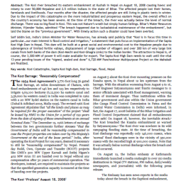
32. The Koshi Pralaya: Could the Catastrophe have been Averted? And What Next?
-
33. Disaster Risk Reduction and Building Resilience in the Hindu Kush Himalaya
-
34. Cascading Adaptation of Rural Livelihood to Changing Environment Conceptual Framework and Experiment from the Koshi River Basin, 2020
-
35. Effectiveness of Community Forest user groups (CFUGs) in Responding to the 2015 Earthquakes and COVID-19 in Nepal
-
36. Landslide Evo: Citizen Science for Landslide Risk Reduction and Disaster Resilience Building in Mountain Regions


