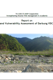
Hazard and Vulnerability Assessment of Darbung VDC, Gorkha
Summary
This report on “Hazard and Vulnerability Assessment of Darbung VDC, Gorkha” integrates both science and community-based knowledge to assess the vulnerability of the Darbung VDC, Gorkha District, Nepal. Using GIS application, hazard, and landslide susceptibility maps were prepared to conduct this project. Accordingly, community-based participatory tools were also applied to perform vulnerability assessment along with scientific knowledge to a larger extent to gain sustainability in Disaster Reduction Efforts. This document covers detailed information regarding all these as a project report.
Categories:
Report
Writer:
Amrit Prasad Sharma
Publisher:
Central Department of Environmental Science, Kirtipur, Kathmandu
Published Year:
2021
