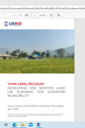
Annex Volume: Final Risk Sensitive Land Use Plan of Godawari Municipality, 2022
Summary
This annex volume is based on Tayar Nepal's Program on Developing Risk Sensitive Use Planning For Godawari Municipality. It is a comprehensive collection of annex I to XVIII including hazard zonation maps of wards, liquefaction potential, geotechnical properties of soil, different typologies of building, reclassification of different topologies, building footprint survey, ward-wise building type, exposure summary, water level survey, historical disaster level, field manual and many more. The document possesses the photographs collection representing overall field activities.
Categories:
Report
Publisher:
USAID Tayar Nepal
Published Year:
2022
